Environmental Science Consulting
Rigorous, evidence-based advisory grounded in decades of field and lab research.
- Environmental impact assessments
- Sustainability & climate strategies
- Ecological & hydrological modeling
Expert environmental consulting, cutting-edge remote sensing, and professional GIS training—engineered for global impact.
We unite environmental expertise with geospatial technology to deliver insight you can act on with confidence.
Rigorous, evidence-based advisory grounded in decades of field and lab research.
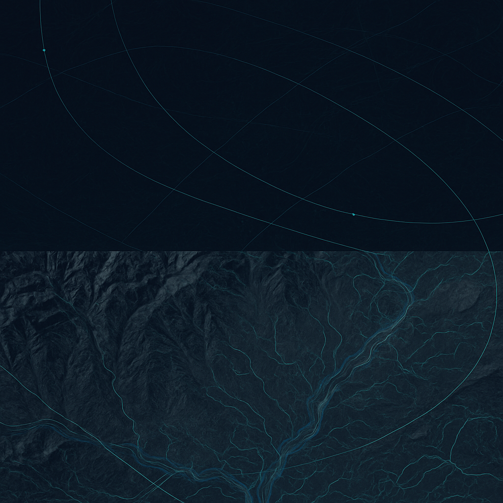
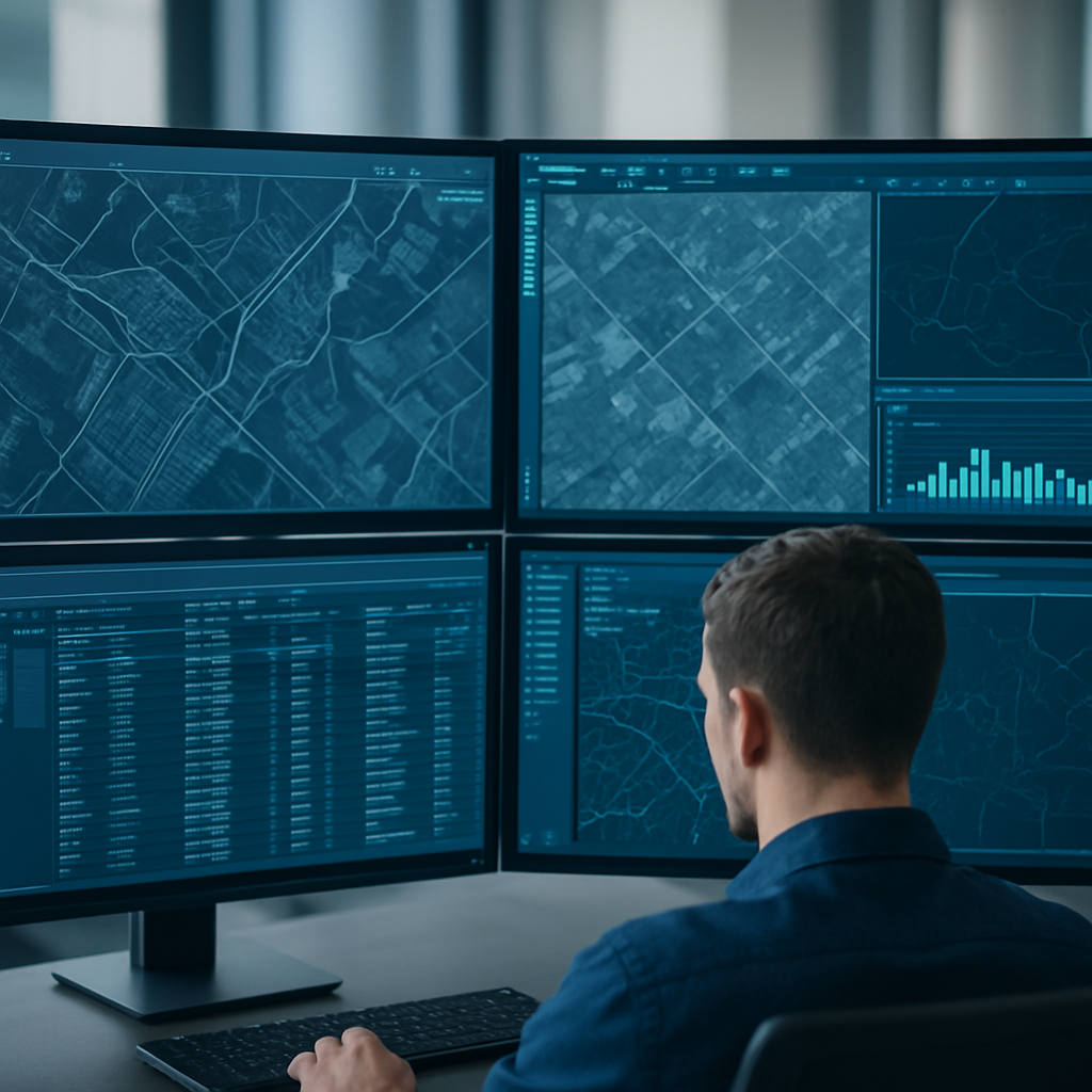
Transforming satellite and spatial data into clear, decision-ready intelligence.
High-end, tailored training that upskills teams on the tools that matter.
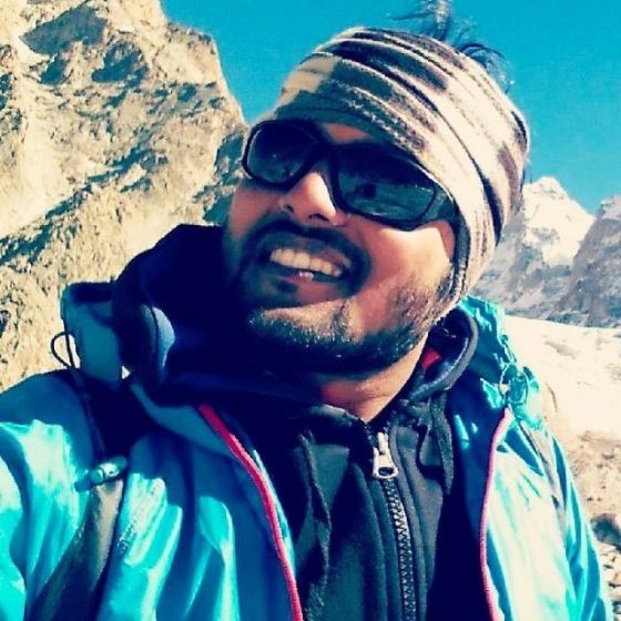
Earth2Sky is led by Dr. Om Kumar, a Himalayan glaciologist and earth scientist whose work spans climate reconstruction, cryosphere hydrology, remote sensing, and stable-isotope geochemistry. He is currently a postdoctoral researcher at IIT Roorkee's International Centre of Excellence for Dams, where his work informs how we understand monsoon variability, water resources, and a changing climate.
“We don't just analyze data; we translate environmental insights into actionable strategies.”
Customizable modules delivered by an active researcher. Whether upskilling a government agency, a university cohort, or a private team, every program is built around your objectives and data.
Hands-on spatial data management, mapping, and cartographic design from the ground up.
Satellite imagery processing, classification, and change detection for real-world projects.
Monitoring frameworks, impact assessment workflows, and regulatory reporting.
Advanced techniques in stable isotopes, hydrology, and climate reconstruction methods.
Request a syllabus or design a bespoke program for your organization's exact needs.
See all available modulesLet's discuss how our geospatial and environmental expertise can elevate your project. Fill out the form and our principal consultant will reach out within 24 hours.